

Below is the District Profile of Masaka DLG
Brief view of Our district
Masaka District is situated about 179 Kms from Kampala, 96 Kms from the Equator and 35 kms from Masaka City, with an average altitude of 1150m above sea level. Sembabule boarders the District in the North, Lyantonde in the North West, Bukomansimbi in the North East, Masaka City in the East, Kyotera and Rakai in the south.
Location and Size
Masaka District is located in Uganda’s central region and shares borders with, Sembabule boarders the District in the North, Lyantonde in the North West, Bukomansimbi in the North East, Masaka City in the East, Kyotera and Rakai in the south.
It lies between latitudes 000-250South and 000 -150 North and longitudes 000 _ 340 East and 000 _ 350 East with an average altitude of 1,150m above sea level. Masaka District Headquarters are situated in Masaka City under Nyendo – Mukungwe Division, in Ssaza Local Council and it stretches to Kamugombwa – Namasenene Local Council One.
Masaka District is made up of four sub-counties that is Kyanamukaka, Kyesiiga, Buwunga and Bukakata. The headquarters of the district are to be set in one of the sub-counties of the district. Masaka District is situated about 179 Kms from Kampala, 96 kms from the Equator and 35 kms from Masaka City, with an average altitude of 1150m above sea level. Sembabule boarders the District in the North, Lyantonde in the North West, Bukomansimbi in the North East, Masaka City in the East, Kyotera and Rakai in the south.
Historical Profile:
District Local Government was further carved off two more Lower Local Government i.e. Mukungwe and Kabonera LLGs plus other two Parishes from Buwunga S/C together with Former Masaka Municipality to compose Masaka City starting from 1st July 2021. The Newly created district is composed of Only Four “04” Lower Local Governments, 18 Parishes and 182 Villages with no Municipality neither Town Council as per to date.
Demographic Characteristics
The district currently has a total population of 2,007,700 with a growth rate of 4.1%. The population density is 700 persons per square kilometer. The ratio of male to female is 90 males per 100 females.
Administrative structure
Masaka District Local Government, administratively, has only One County namely, is Bukoto. Further, the district has a total of only Four (04) sub-counties, 18 Parishes and 182 Villages.
On addition to that, Masaka District is composed of both technicalstaff and political wing that is composed of statutory bodies.
Cultural units in Masaka District:
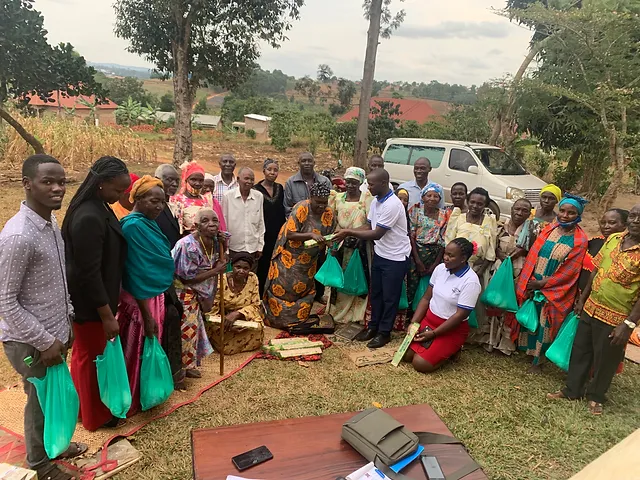
Masaka District is located in the Central region whereby majority of the people in Masaka District are Baganda (76.8%); followed by Banyankole (8.7%), Banyarwanda (7.7%) while others following. Therefore, Buganda culture is most highly practiced in the District. Masaka consists of various cultural sites that depict people; Royal to their King (Kabaka) e.g. Palaces, totem sites of different clans, caves which were as a result of water’s movements downward and upward warping for Lake Victoria as well very big stones that have resisted water erosion for so many years.
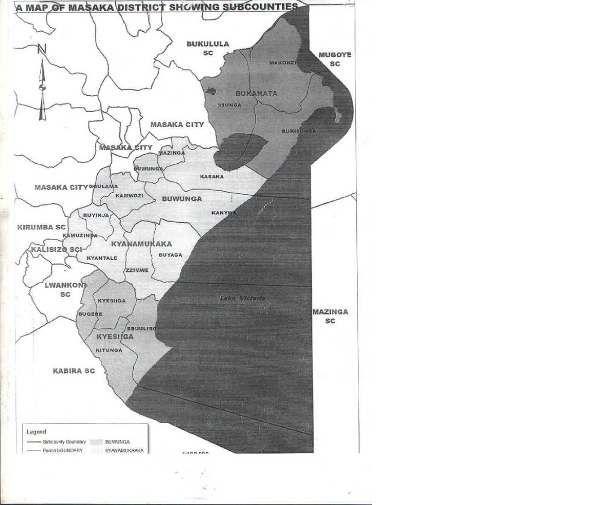
Physical Map of Masaka District
The map Above shows all the four sub-counties of Masaka District.( Bukakata, Buwunga, Kyanamukaka,Kyesiga)
Add a descriptive title for the column.
Add context to your column. Help visitors understand the value they can get from your products and services.
Add a descriptive title for the column.
Add context to your column. Help visitors understand the value they can get from your products and services.
Add a descriptive title for the column.
Add context to your column. Help visitors understand the value they can get from your products and services.
Subscribe for Updates!
To receive updates once a week in your email inbox, subscribe to our Newsletter. We never spam you with useless emails, and we never share your email address with any third party.